Distance: 13.59
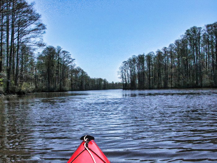
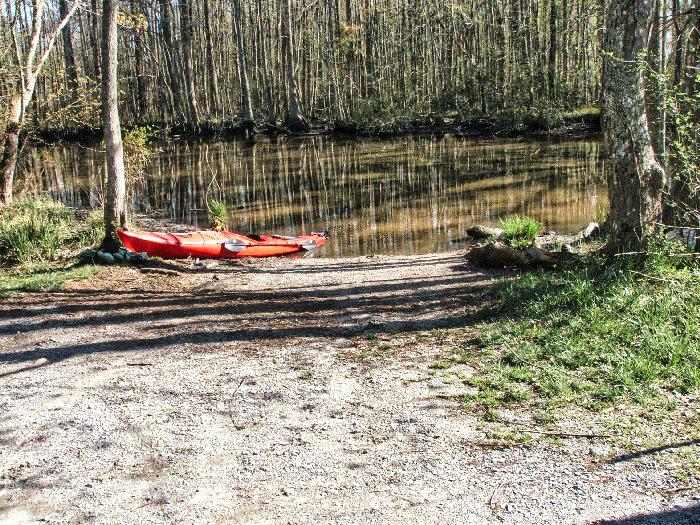
Today was nice, but windy, the temps got up to 65 and the wind was about 20 mph out of the north. I was planning to head out of the Baum Road launch, but upon arrival the water level was really low, could have probably made it, but didn’t want the hassle when there was a deeper launch site (Indian Creek Small Boat Launch) a couple of miles up river.
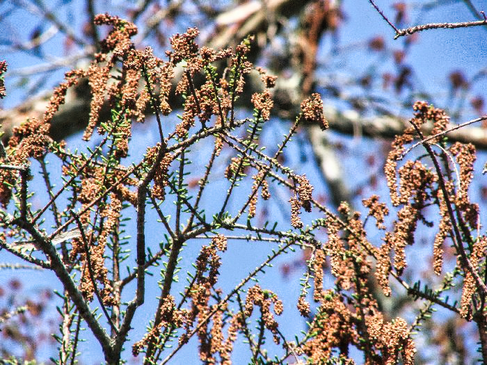
You can really see the effects of the warmer weather on the trees and plants, and the marked increase in bird activity. The outbound section was nice with the wind at my back, but had that nagging thought that I would have to paddle back into the wind.
My original plan was to head for Pete Dozier’s Pond, but being as the Garmin GPS maps for North East North Carolina SUCK, and I forgot my print chart, I took the wrong turn and came up about a half mile short, but the turn I made was worth it. In this little tributary I turn in were a couple of otters, I couldn’t get any pictures of them because they were on to me, and wouldn’t stay still long enough for me to get a picture. The paddle back wasn’t that bad, but still a pain. I made it home in time to see Tiger make the Chip in for Birdie.


h
Leave a Reply