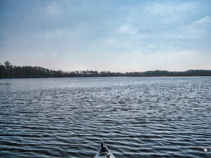
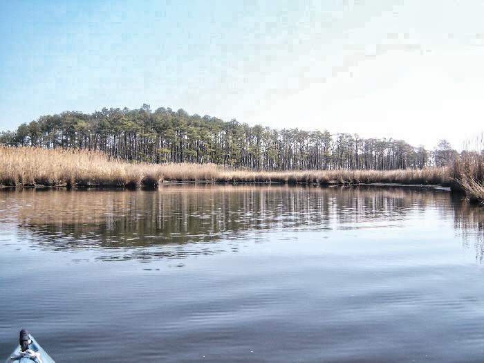
Today, I had no specific agenda except to take my new Aquabound Manta Ray carbon paddle out for a trial run. I was originally planning on doing an excursion on Shipp’s bay, but I really didn’t feel like trudging across 20 feet of mudflat to get to the water, so I opted for a location I knew wouldn’t be a big hassle, Old Pungo Ferry Road. The weather was nice, in the upper 40s and little or no wind.
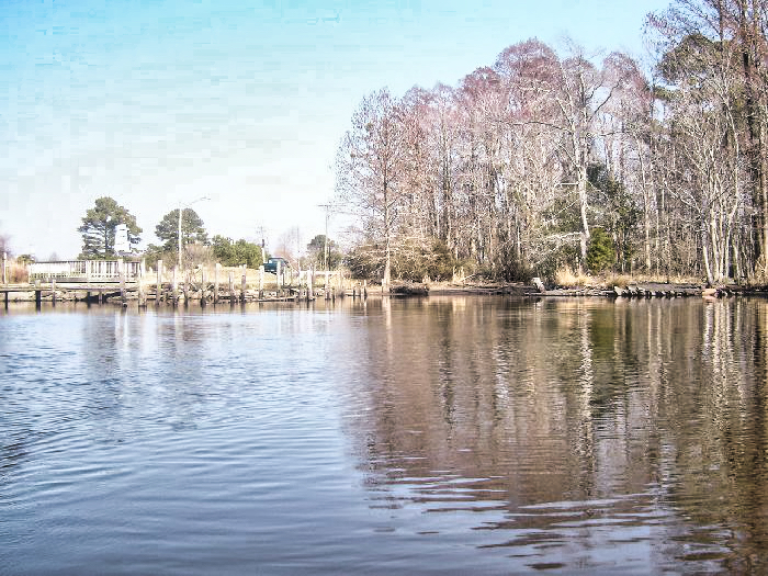
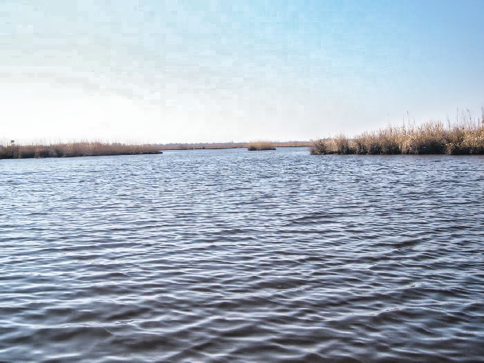
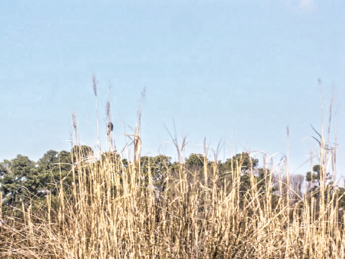
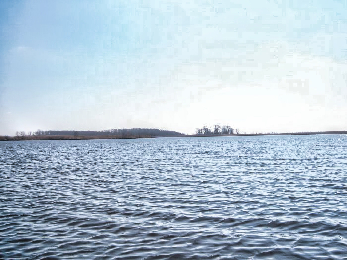
I headed south from the launch, and into the oxbow just south of the Pungo Ferry bridge, didn’t see much of anything interesting there. Did the loop and crossed the river and headed down to Blackwater Creek, according to the maps and GPS there should have been a spit of land at the junction, but I noticed the spit was gone just a small island remained where the spit should have been. This is something I noticed a couple of weeks ago on my trip (2/6/2005) further south on the North Landing River. The data I have Maps, Aerial photos and GPS are all based on 1989 and 1990 data, and it all concurs that the land should be there, and my GPS was pulling WAAS data, and reading accuracy of about 8 feet. So, here’s the big question, could that much of the river bank eroded in 15 years?
Okay, now on to the paddle, I absolutely love it, I normally use a Werner touring paddle (whatever they replaced with the Camano), and this is a great improvement about 8 ounces lighter, and a much larger face. I noticed the difference on the first stroke. The boat just picked speed and maintained it so much easier, The only problem I had with it was me I tended to drive it a little too hard and was having a bit of cavitation problem, switched over to feathered (not normal for me), which seemed to work for me, I guess it made me more conscious of my stroke.


Leave a Reply