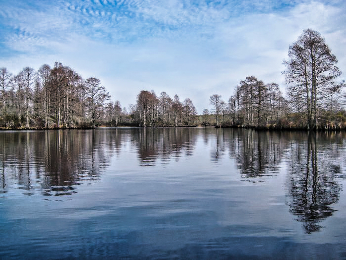
Today, I had no specific agenda except to take my new Aquabound Manta Ray carbon paddle out for a trial run. I was originally planning on doing an excursion on Shipp’s bay, but I really didn’t feel like trudging across 20 feet of mudflat to get to the water, so I opted for a location… Continue reading North Landing River – Old Pungo Ferry Road, 20050226
Princess Anne Wildlife Management Area – Back Bay – Pocahontas Marsh 20050213
Trip on Back Bay to Pocohontas Marsh. Beautiful February day, temps almost made 50, winds light ~5mph out of the Northeast. I decided on this trip late in the day, wasn’t really feeling motivated to day, drove to Dozier Bridge launch and saw that the water levels were up so I went for it. I… Continue reading Princess Anne Wildlife Management Area – Back Bay – Pocahontas Marsh 20050213
Superbowl Sunday Munden Point Park – Oakum’s Creek, North Landing River, Milldam Creek 20050206
A beautiful February day, Superbowl Sunday, took advantage of the weather and got out on the water. The water levels were really low, as we’ve had a predominantly North wind for the last couple of weeks. Attempted going up Oakum’s Creek as a little warm up before crossing the river, low water level didn’t really… Continue reading Superbowl Sunday Munden Point Park – Oakum’s Creek, North Landing River, Milldam Creek 20050206
Hard Water
I was looking forward to taking advantage of a “nice” day (Sunny Calm and 35°), and taking a quick trip on Ashville Bridge Creek. No such luck.
New Year’s Day – Dismal Swamp Canal, Lake Drummond
Happy New Years! Beautiful day, Beautiful Trip, only regret is that I didn’t get my butt out of bed earlier so that I could explore more of the lake. Reflection: I remember that trip like it was yesterday, paddling the feeder ditch is always a workout, there is a constant flow to keep the water… Continue reading New Year’s Day – Dismal Swamp Canal, Lake Drummond
Smiths Creek 20041231
Wow! Going through the details on this my first documented trip, the camera I used was a Sony DSC-73 camera with 4 Mega Pixels, that I am pretty sure I still have somewhere. The images, for some reason, would not let me embed the GPS data. Below are my original comments. New Year’s Eve trip… Continue reading Smiths Creek 20041231
Update #1
I have downloaded everything off the old server, so I have all the data and images. General Updates All the server and DNS stuff has been taken care of, kayakvb.com forwards here. Kayakva.com is visible globally. Image Updates As I upload the old images, I intend to rework them, since I have a much better… Continue reading Update #1
Launch Sites
These are the launch site
Baum Road
The Baum Road Small Boat ramp is located on the Eastern end of Northwest River Park, in Chesapeake Virginia. The ramp is operated by the Parks and Recreation Department of the city of Chesapeake. The ramp is open from 9am to Sunset, and there is no charge for its use, and has enough parking for… Continue reading Baum Road
Welcome!
Welcome to the New and Improved KayakVB, so improved that we went from a B to an A, it is now KayakVA! The 20-year-old handwritten website the was KayakVB has finally succumbed to progress. I have decided that since there is a lot of resources available, I am going to try to resurrect the information… Continue reading Welcome!
